About the Cayman Islands
Geography of the Cayman Islands
Learn about the physical landscape and geographic features of the three islands that form the Cayman Islands: Grand Cayman, Cayman Brac and Little Cayman.

Learn about the physical landscape and geographic features of the three islands that form the Cayman Islands: Grand Cayman, Cayman Brac and Little Cayman.
The Cayman Islands consist of three distinct islands in the western Caribbean Sea. Grand Cayman is the largest and most developed, stretching approximately 22 miles in length. Cayman Brac covers around 15 square miles, while Little Cayman, the smallest of the three, spans roughly 10 square miles. Geographically, the Islands are located about 480 miles south of Miami, 150 miles south of Cuba and approximately 167 miles northwest of Jamaica.
Geologically, the Cayman Islands are the exposed peaks of underwater ridges rising from the Cayman Trench — one of the deepest parts of the Caribbean Sea, with depths reaching nearly 25,000 feet. This dramatic underwater landscape contributes to the Islands’ world-renowned diving conditions and steep drop-offs just offshore.
Despite their striking marine surroundings, the islands themselves are relatively low-lying. Grand Cayman’s highest natural elevation reaches only about 70 feet above sea level, while Cayman Brac features a limestone bluff — “The Brac” — which forms the most prominent ridge in the territory.
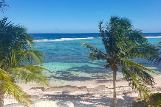
None of the three islands has rivers. Freshwater resources are limited, and the coastline is largely sheltered by extensive coral reef systems. In several areas, mangrove forests fringe the shorelines and extend into inland wetlands, playing a vital role in coastal protection and ecosystem balance.
The Cayman Islands are positioned along the boundary between the North American and Caribbean tectonic plates. These plates move laterally past one another — the Caribbean Plate shifting eastward and the North American Plate moving westward. This horizontal movement influences seismic activity in the region, generally resulting in relatively moderate earthquakes compared to more vertically active plate boundaries.